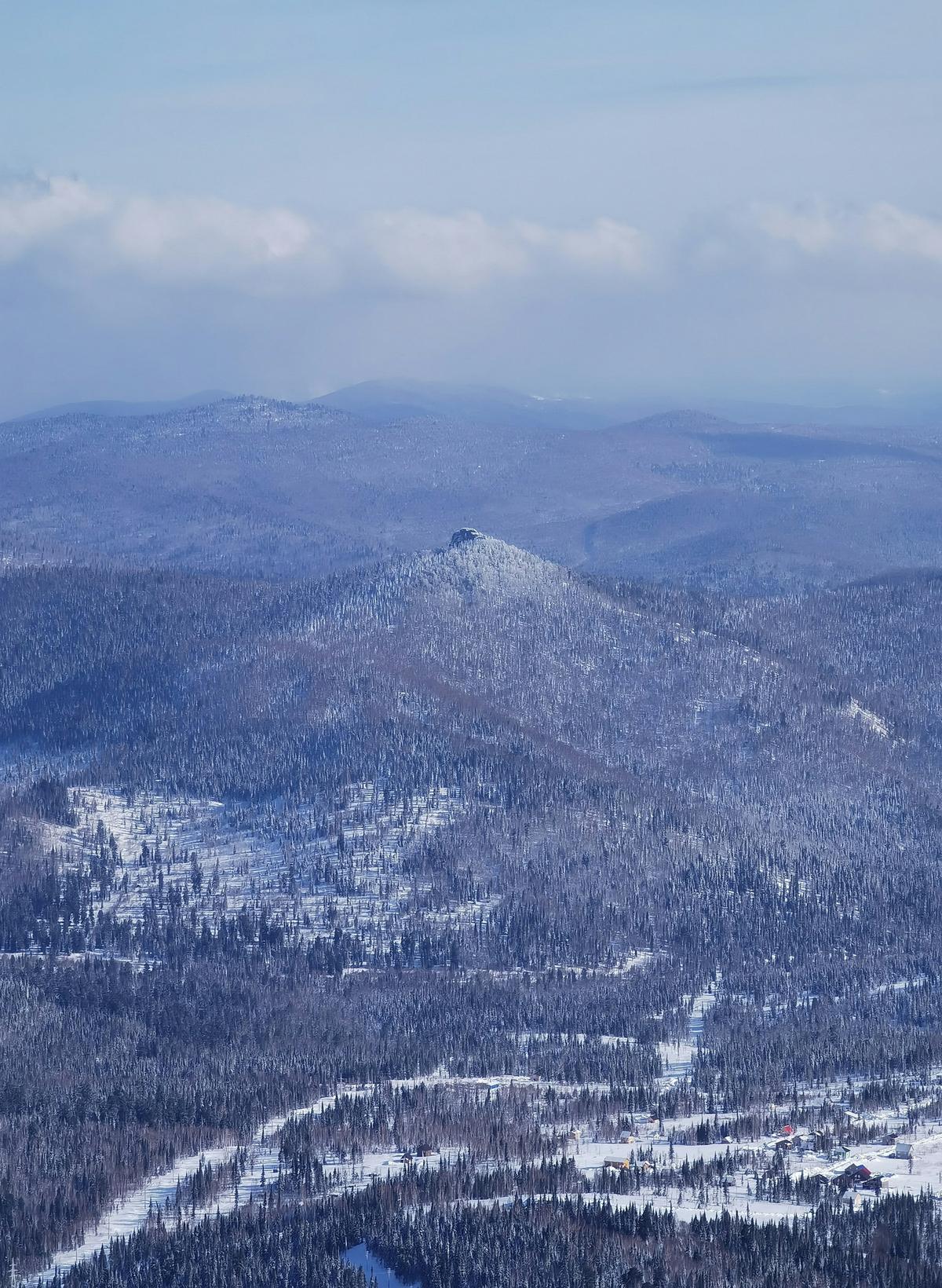
SH. Siberian High. Siberian Anticyclone. The presence behind this name can hardly be missed. Winter will tell you why.
Siberian High is a wind system; an intense, robust, massive system of biting cold, dry air that controls winter weather over Eurasia. This system of high atmospheric pressure has its centre in Siberia, hence the first name. During winter, the region cools significantly and the air even faster thereby giving rise to the anticyclone. Summer may mindlessly ask, “Oh so, what’s the big deal?” Those of you, at least in the Southern part of India will have an answer ready by the end of this article.
A “High” simply means a high pressure air system!
‘Cause this is chiller, chiller night
Lately, have you felt that the air is extra chilly at night and sometimes even during the morning? Good observation! Time for some weather theory.
Though working from Siberia, Siberian High is the phenomenon that is primarily responsible for it.
As far as India is concerned, this anticyclone drives the northerly winds towards India which is crucial to the country’s winter. This is the reason why we have cool winters in North India. The Siberian High is usually blocked by the Himalayas, meaning the extreme cold attitude of this wind system is denied entry into the country. With La Niña’s aid, Siberian High has entered India by strongly overcoming the Himalayan hurdle this time. Then it moved southward.
Boreal winter
Also called Asiatic High, this wind system is dominant in controlling the boreal winter climate of continental Asia. Let’s look at its characteristics.

Siberia.
| Photo Credit:
Unsplash Images
1. Shallow high-pressure system
In an anticyclone, the centremost part is where the pressure is high. This means that the air moves away from the centre of the surface. When such an air pressure is shallow, it means that the influence or effect of the system is felt mostly near the surface of the Earth.
2. Low vertical extent
As it is a shallow system, the more height it has, the weaker it becomes.
3. Effect is felt in the troposphere
As it is a shallow system, the effect or influence of Siberian High is felt in the lowest layer of Earth’s atmosphere – Troposphere. This is why it is so powerful when it comes to influencing winter.
4. Extreme cold and dry wind
Locked by the Siberian region, the dynamics of Siberian High is such that the radiational cooling (cooling at night when warm air escapes and cold air sinks) makes the air dry and cold. Siberia is cold because the dry air cannot retain heat.
Dry air cannot hold heat as well as humid air for relative lack of water vapour. Water vapour is extremely good at holding heat.
5. Semi-permanent
Siberian High is a semi-permanent pressure system which means that it undergoes seasonal changes. Siberian High builds up at the end of August. During summer, the wind system just dissipates because of all the heat. Winter is its playground.
SH
is the strongest semi-permanent high in the Northern Hemisphere.
No lie
The figure at the top represents data showing the mean sea level pressure during winter seasons from 1961 to 2017. Standing out like Jupiter’s red spot, Siberian High’s presence, as stated, can hardly be missed.


